 Open the live map
Live glider tracker: track gliders on a world map
Cloudview is a free live glider tracker for pilots, retrieve crews, clubs and spectators. It shows gliders worldwide on one map, with positions from the Open Glider Network (OGN), FLARM devices and ADS-B. No sign-up, on desktop, tablet and phone.
Updated 16 November 2026 · by Marvin Bauschulte, glider pilot at Luftfahrtvereinigung Greven, Germany · Deutsch
Open the live map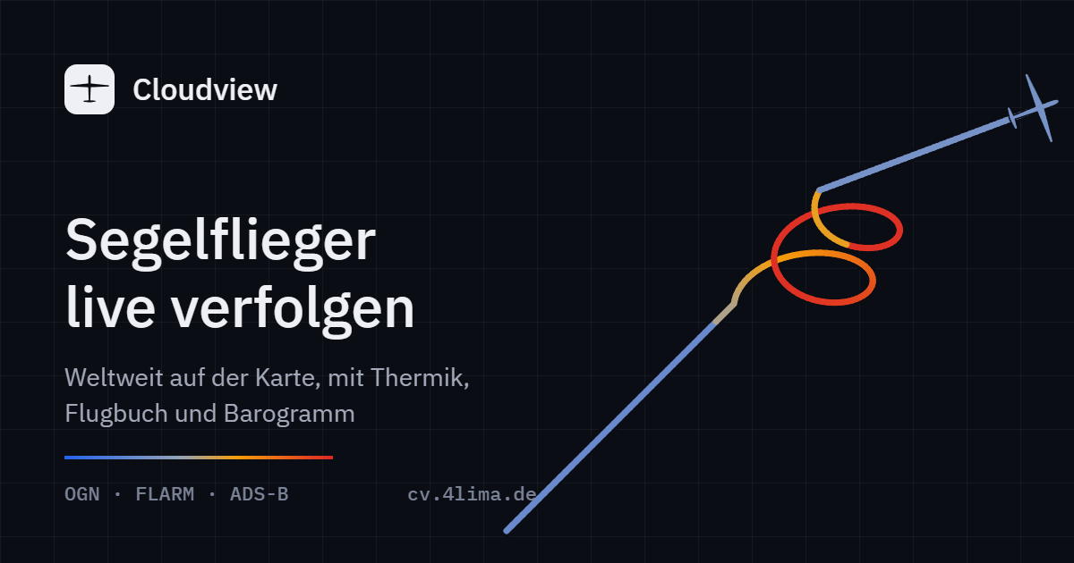
What Cloudview shows
- Live positions of gliders, tow planes, motor gliders, hang gliders, paragliders and other aircraft, updated every few seconds.
- Climb at a glance: every aircraft is colored by its climb rate, blue when sinking, orange and red when climbing.
- Thermal map: where gliders circle and climb, Cloudview marks the thermal with its average climb and top altitude.
- Track and barogram of the selected aircraft, colored by climb, so you can see where it found lift.
- Airfield flight log: takeoffs and landings detected automatically over the last 24 hours, with flight times.
- Highlights for the visible area: gliders airborne, highest glider, strongest thermal, longest flight.
- Search by registration, competition ID and aircraft type.
- Favorites with an alert when one comes online, and a follow mode with a shareable link for your retrieve crew.
- Weather: wind, gusts, estimated cloud base and rain radar for the visible area.
- Thermal forecast for today and tomorrow: working height, cumulus or blue thermals, risk of storms, by the hour.
- Retrieve alert: when a favorite lands out, Cloudview shows the position with navigation, optionally as a push notification.
- Flight replay of the last 24 hours with barogram.
- Competition view: load a SeeYou or XCSoar task, follow pilots by competition ID, ranked by progress.
- Airspace and thermal hotspots of the season.
Where the data comes from
- Open Glider Network (OGN)
- A worldwide network of ground receivers that picks up FLARM, OGN trackers and other signals and publishes them openly. It is Cloudview's main source. The worldwide OGN feed carries about 750 position reports per second; on a November afternoon it showed just over 1,000 aircraft at once, more than 80 percent of them over Europe (Cloudview's own measurement, 16 November 2026).
- ADS-B
- Where OGN coverage is thin, for example in North and South America or Australia, Cloudview adds positions from the open ADS-B networks adsb.lol and adsb.fi. ADS-B has its own category for gliders.
- Registrations and competition IDs
- From the OGN device database (about 37,000 devices, nearly 27,000 of them with a competition ID, as of November 2026) and FlarmNet, plus public aircraft registers for ICAO addresses. Cloudview shows the competition ID first, then the registration, otherwise the device ID.
- Airfields and weather
- Airfields and runways worldwide from OurAirports, weather from Open-Meteo, rain radar from RainViewer, map from OpenFreeMap and OpenStreetMap.
How your glider shows up
- Your aircraft transmits FLARM, an OGN tracker or ADS-B Out.
- You fly within range of an OGN receiver. In most of Europe that is almost everywhere.
- Register your device at ddb.glidernet.org with registration and competition ID, so it shows with its name instead of a device ID.
To stay hidden, set the no-tracking flag in your FLARM or choose “do not track” in the device database. With “do not identify” the aircraft stays visible without its registration. Cloudview respects both.
Cloudview, GliderTracker, OGN Live and KTrax
GliderTracker, OGN Live and KTrax are well-known trackers that also show Open Glider Network data. Cloudview uses the same foundation and focuses on a calm, fast interface and on what glider pilots want to know:
| Feature | Cloudview |
|---|---|
| Data sources | OGN and FLARM, plus ADS-B worldwide |
| Thermals | Thermal map from circling gliders |
| Track | Colored by climb rate, with barogram |
| Airfields | Flight log with takeoffs and landings of the last 24 hours |
| Phone | Built for touch, installable as an app |
| Cost and account | Free, no sign-up, no ads, no tracking |
Frequently asked questions
Is Cloudview free?
Yes. Cloudview is free, without ads, without an account and without tracking its visitors.
How current are the positions?
The map asks for new data every three seconds. OGN and ADS-B positions are usually only a few seconds old.
Why do some aircraft show only an ID?
The device is not registered in any database, or its owner chose “do not identify”. You can register it at ddb.glidernet.org.
Can I install Cloudview as an app?
Yes. On your phone, choose “Add to Home Screen” in the browser menu. Cloudview then opens full screen.
Who is behind Cloudview
Cloudview is built and run by Marvin Bauschulte. He is 18, has been flying gliders at Luftfahrtvereinigung Greven in Germany since 2022, and now has about 200 flight hours and competition experience. Cloudview is a private, non-commercial project: no ads, no account and no visitor tracking.
Data for developers and AI agents
A machine-readable description with every query is in llms.txt.
Live data is available as JSON, for example api.php?bbox=47,5,55,15 for gliders between
47° and 55° north and 5° and 15° east.
Imprint · Privacy policy (in German)